Geospatial Technology in Action: Mapping Sustainable Cotton Sourcing

In the textile industry, ensuring sustainable sourcing and tracking the origins of materials like cotton is a multifaceted challenge. To address this complexity, we rely on advanced geospatial technology. In this technical blog post, we'll delve into the technical aspects of our approach, focusing on the geospatial techniques, data sources, and processes that enable us to construct a sustainability map for cotton cultivation.
Our journey begins with the utilization of geospatial technology to monitor and assess various aspects of cotton cultivation. We specifically focus on:
1. Deforestation Tracking: We employ high-resolution satellite imagery to identify and track instances of deforestation in regions where cotton is produced. This data is continually updated and integrated into our analysis.
2. Species Impact Assessment: Our geospatial analysis extends to evaluating the impact of cotton cultivation on local species and ecosystems. This assessment involves detailed spatial data and environmental modeling.
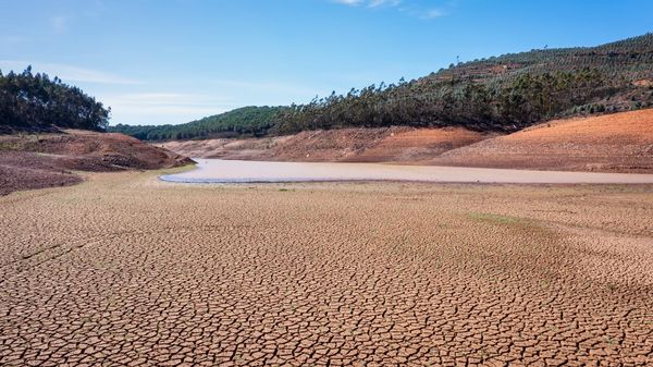
3. Water Resource Management: Responsible water management is a critical component of sustainability. We incorporate geospatial data on water resources and usage patterns in cotton-producing areas.
The Geospatial Data Backbone:
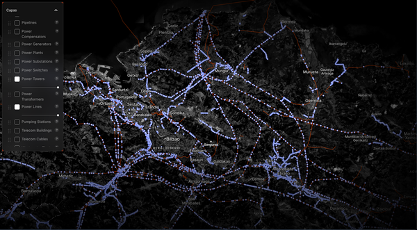
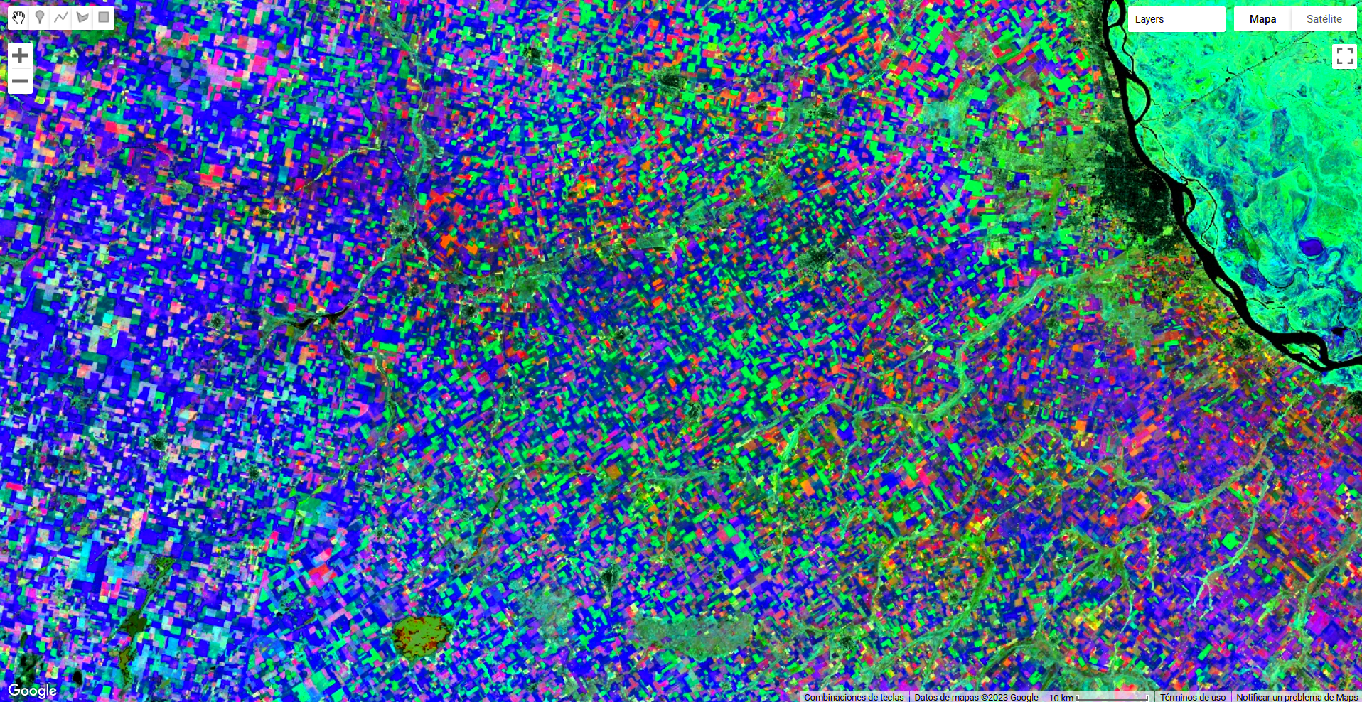
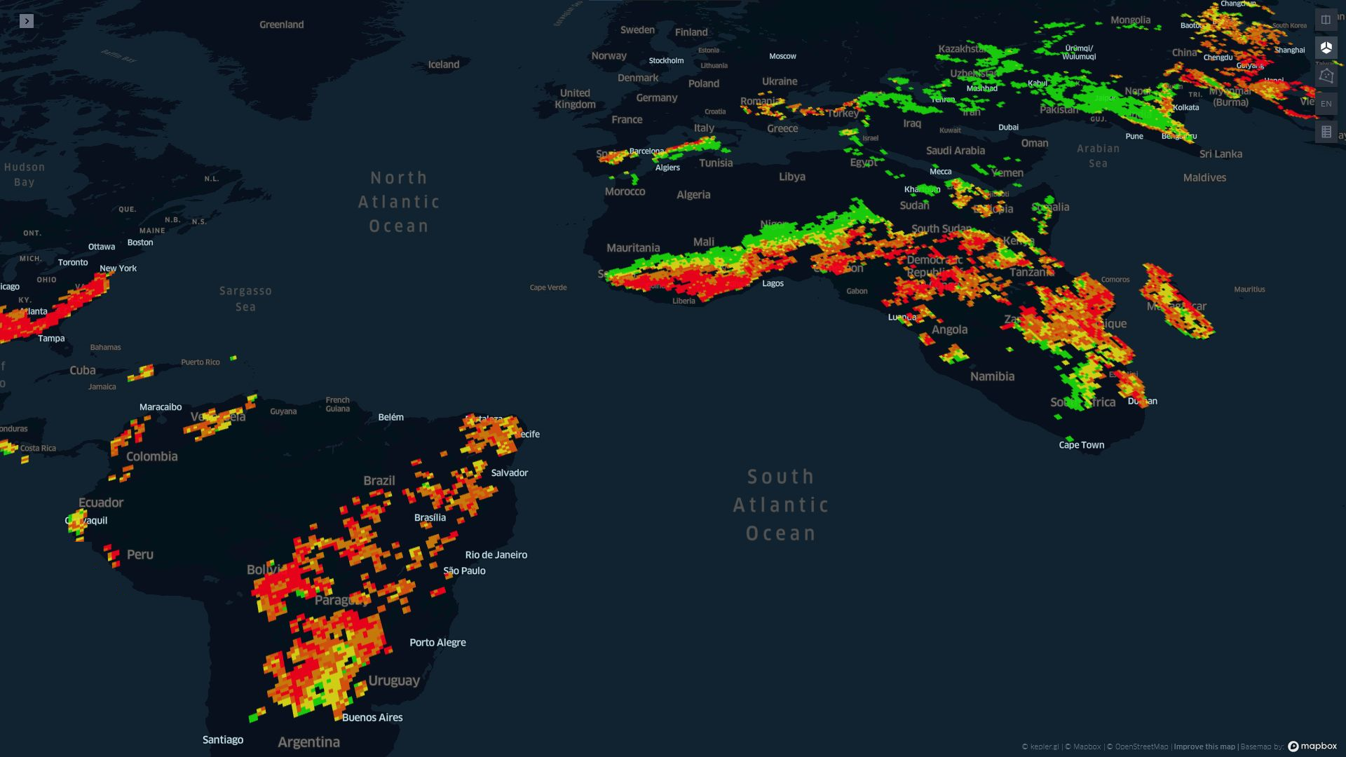
Central to our approach are the satellite systems we utilize. These include Sentinel, Landsat, and MODIS satellites, which provide a wealth of geospatial data. We leverage multispectral and hyperspectral data captured by these satellites to gain insights into land use, vegetation health, and environmental changes.
Phenoespectral Techniques for Crop Classification:
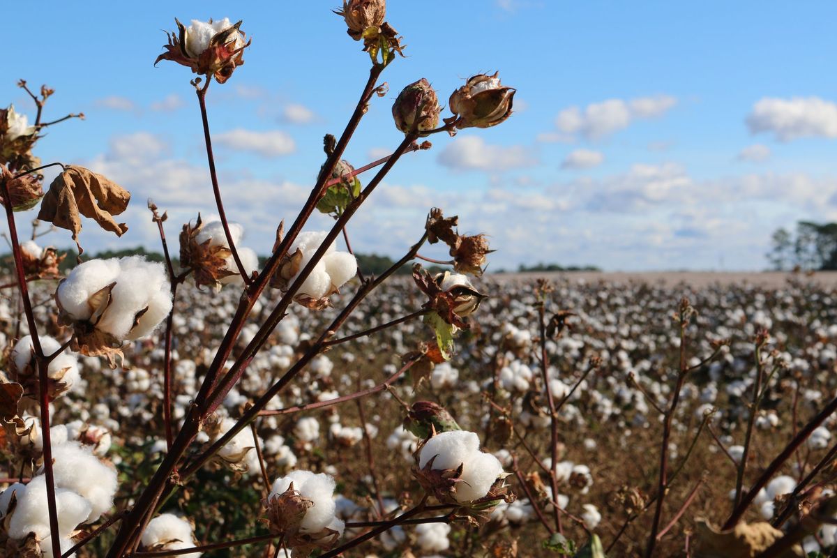
Distinguishing cotton fields from other crops is a pivotal part of our process. We employ advanced phenoespectral techniques that analyze the spectral signatures of crops. By understanding the unique spectral characteristics of cotton, we achieve highly accurate crop classification.
Our strength lies in the integration of various data streams. By combining satellite imagery, deforestation tracking, species impact assessments, water management data, and phenoespectral crop classification, we construct a comprehensive sustainability map.
This map serves as a valuable decision-making tool for stakeholders in the textile industry.
Empowering Data-Driven Decision-Making:
Our sustainability map empowers decision-makers to identify environmentally conscious cotton producers efficiently. It simplifies the complex task of sustainable cotton sourcing, enabling the textile industry to prioritize responsible sourcing.
In conclusion, our technical approach to sustainable textile sourcing revolves around harnessing the capabilities of geospatial technology. Through satellite imagery, advanced phenoespectral techniques, and the integration of diverse data sources, we construct a detailed sustainability map. This map aids stakeholders in making informed decisions and contributes to the goal of a more environmentally responsible textile industry.